Thanks to Rich Owings for sharing this short and informative video on how GPS triangulation fixes the hikers position in the backcountry.
To view the video go here.
Map, Compass & GPS
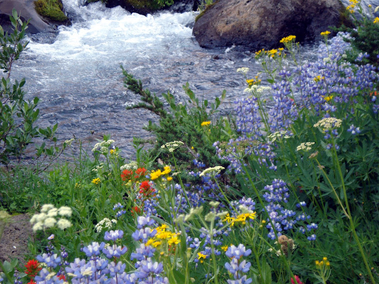
Wild flowers along Fall Creek on the way to the Green Lakes - Oregon
Sunday, December 30, 2012
Backcountry iPhone & Android App.
Another App for your iPhone or Android?
This is a relatively new app for smart phones. Reviews are mixed but the product is free so I gave it a try.
The following is brief description of what it does:

This is a relatively new app for smart phones. Reviews are mixed but the product is free so I gave it a try.
The following is brief description of what it does:
"GeoCam is a powerful tool designed for creation and preview of geophotos – i.e. photos supplied with additional information, such as geographic coordinates, camera orientation at the moment of shooting, comments, etc."For more information go here. iPhone or Android.
Norwegian Mountain Code - Stay Safe in the Backcountry
I enjoy reading about backcountry travel. I am also interested in what is the right gear to carry. I also do my best to hike safely.
I came across the Norwegian Mountain Code last year.

It's pretty simple.
In 1967, Norway tragically lost 18 outdoors men during the Easter weekend. Later the Norwegian Red Cross and Norwegian Mountain Touring coordinated the development of the code; a common sense approach to back country winter travel.
The code compliments the Ten Essentials and builds on it. Read about the code here.
Thursday, December 20, 2012
GPS Setup
Before heading out into the back country, spend a few minutes to update the settings on your GPS receiver.
 Setup is a straight forward process that everyone in the hiking party should do. Everyone should be on the same page. For example, if the hiker is to meet at a spot for lunch, wouldn't it be nice if all met at exactly the right spot? If receiver settings don't match the group may be over a hundred yards apart from each other.
So, here is what I recommend.

If everyone in your party "matches the map" you all will be on the same page and this greatly simplifies a rendezvous and keeps your navigation simple.

So, here is what I recommend.
- First, remember the prhase, "match the map." The receivers all need to match the parameters of the map.
- Geographic coordinates: This is the grid system on the map. Most commonly the grid can be either Latitude/Longitude or UTM grid. Keep in mind that Latitude and Longitude settings in your receiver and set at the the factory are Degrees Minutes.Minutes. The map is set to Degrees Minutes Seconds. They are close but not the same. To adjust these receivers settings settings (for a Garmin 60 series), select main menu, then select setup, then units. Check your owner's manual. Personally, I use UTM grid. UTM = Universal Transverse Mercator. It's a much simpler grid system to use. For information on how to use UTM go to the USGS site here.
- Map Datum: On USGS topo maps and most Forest Service maps, map datum is listed in the bottom left corner of the map. It might indicate that the horizontal datum is North American Datum 1927 or North American Datum 1983. To match the map go back to receiver setup and select units. Norht American Datum 1927 will be listed by the acronym NAD27 CONUS (for Continental United States). That is the option you want.

- I always recommend the hiker carry a declination adjustable compass. Visit the website www.magnetic-declination.com to find the correct declination for the area you will be hiking in. The compass will now provide data in degrees true. Now adjust the GPS receiver via the setup function again, and select "heading". Then selction the option "True." Now the hiker will match the map and the compass.
If everyone in your party "matches the map" you all will be on the same page and this greatly simplifies a rendezvous and keeps your navigation simple.
Wednesday, December 19, 2012
Few hikers use the celestial bodies in the night sky to navigate by. But on a clear night, the night sky provides a feature that is an excellent source of direction. It doesn’t matter if it is June or November, if you are in Wyoming or Oregon.
The North Star or Polaris is the principle star that I will focus on.
For the backcountry hiker consider that Polaris is fixed in position over the northern pole. Unique from other celestial stars and planets, Polaris is very closely aligned to the earth’s axis. Stars and planets rotate around Polaris. And like the sun, this rotation is from east to west through the sky. Polaris will be found approximately half way between the northern horizon and straight overhead. In the northern hemisphere, Polaris can found in our northern sky and is never more 1° from true north – the North Pole.
Constellations help locate Polaris. Cassiopeia and the Big Dipper point to Polaris. Uniquely, Cassiopeia, the Big Dipper and Little Dipper can be seen in relation to Polaris year round. In winter, the constellation of Orion will also help locate Polaris.

Tuesday, December 18, 2012
Update Your GPS Receiver

I receive a monthly newsletter from www.gpstraining.co.uk/. As the site address implies, this is a group located in the United Kingdom. Their site is packed with lots of info; so too is their news letter.
Their latest post caught my eye and is worth forwarding:
"Good manufacturers offer regular free updates for the software in your device as well as any supporting software on your PC/Mac like Basecamp; it’s in their interest as much as yours. Why? Because updates as well as offering access to new features are a useful way to fix software glitches and often a new update raises new glitches which means another update!!"
------------------------------------------------------
This is great information. To view the current newsletter and to subscribe go here.
I recommend that GPS users update their receivers every few months. Also, I'd suggest that before uploading new mapping software this be done too. Simply put, an upgrade keeps your receiver current and provides corrections to software issues.
For those with older, discontinued models there may be no updates. Contact your manufacturers website to resolve any issue.
Friday, December 7, 2012
UTM Converter
How do you convert coordinates from UTM to Latitude and Longitude?
 A friend gives you coordinates to the best fishing hole in the state. The coordinates are in UTM (Universal Transmercator). The problem is, you use only latitude and longitude.
How do you quickly convert from one system to the other?
The answer, visit this site: www.rcn.montana.edu/resources/tools/coordinates.aspx

How do you quickly convert from one system to the other?
The answer, visit this site: www.rcn.montana.edu/resources/tools/coordinates.aspx
Tuesday, December 4, 2012
Maps For Your GPS
There are several map software programs on the market and several that are free. Check these out.
Garmin (www.garmin.com) has several products available. I'd check REI for a good list of what is available. The quality is very good, road and trail information is current; it's a quality product. On my older Garmin products I still use the old Map Source product and it works nicely for my needs.
 Montana Mapping (www.huntinggpsmaps.com) is an absolutely first rate product for the backcountry hunter. Using USGS maps layered with land ownership information (e.g., Forest Service, BLM) this product provides an incredible amount of information for the dollar. The old forest road/logging road data provided is probably the best on the market.
Free Maps for the GPS
GPS File Depot (gpsfiledepot.com) has an extensive library of free maps.
Switchbacks (www.switchbacks.com) has topo's of the Pacific Northwest.
Keep an eye on Rich Owings' outstanding site: www.gpstracklog.com for information and product reveiws relating to GPS.
Garmin (www.garmin.com) has several products available. I'd check REI for a good list of what is available. The quality is very good, road and trail information is current; it's a quality product. On my older Garmin products I still use the old Map Source product and it works nicely for my needs.

Free Maps for the GPS
GPS File Depot (gpsfiledepot.com) has an extensive library of free maps.
Switchbacks (www.switchbacks.com) has topo's of the Pacific Northwest.
Keep an eye on Rich Owings' outstanding site: www.gpstracklog.com for information and product reveiws relating to GPS.