
Is your GPS ready for the fall hunting season? My post offers some suggestions to get the hunter set up for the fall.
 With Elk season approaching, last month was range time with
my favorite rifle. I spent several hours
sighting-in that rifle and testing my preferred reloads. Altogether, I’ve spent probably five hours
shooting, adjusting and cleaning my firearm.
Then I am spending time getting gear together, going through my check
list to make sure I won’t leave anything behind. I am all done right; wrong.
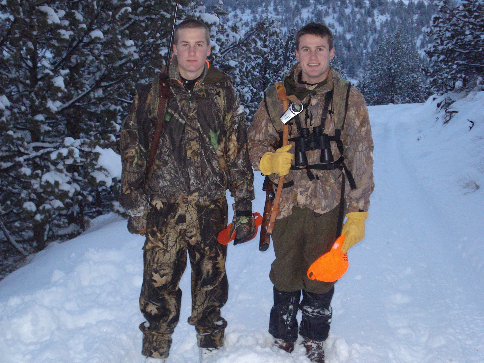
With Elk season approaching, last month was range time with
my favorite rifle. I spent several hours
sighting-in that rifle and testing my preferred reloads. Altogether, I’ve spent probably five hours
shooting, adjusting and cleaning my firearm.
Then I am spending time getting gear together, going through my check
list to make sure I won’t leave anything behind. I am all done right; wrong.
·
“Dump the Junk” – Delete those old waypoints
from last year. Save old waypoints on
your PC by using a free program found at www.easygps.com, or write them down on
a piece of paper. Don’t use your GPS as
a filing cabinet.

·
Open the GPS’s main menu option and then select
tracks. Select the option that allows
you to clear your tracks or track log.
Tracks are what folks call the “bread crumb” trail and can be seen on
your map page.
·
Visit your receiver’s manufacture’s web site to
see if there are any software updates.
You won’t improve the maps that may have come preloaded but upgrades
will improve the efficiency of your receiver’s operation. Only download the upgrade that specifically
matches your GPS.
·
If you download maps on to your GPS make sure
you have your hunt area installed in memory.
·
Set up your map page on the GPS. I’d recommend you set your zoom setting at
800 feet. While you’re moving on foot to
your hunting spot, 800 feet allows the GPS to provide a good amount of topography,
trail and road information.
·
If you have a GPS with an electronic compass you
will need to calibrate the compass each time you replace the batteries. To do this, select menu while you are viewing
the compass page.
·
Replace the AA batteries. I’d suggest you get new batteries and save
those old ones in the drawer for you kid’s electronic games. If the receiver is powered on during the day,
all day, be prepared to replace the batteries nightly.
My last preparation will focus on map and compass:
·
Long ago, I got rid of my cheap compass. I replaced it with a Brunton 8010G. This new GPS allows me to adjust the compass
for declination. (The angular difference
between magnetic north and true north.)
Declination changes with time and the declination data found on your map
key may very well be out of date. You
can find the declination for your hunt area at www.magnetic-declination.com
·
I use a great software program made by MyTopo
called Terrain Navigator. Using this
program I have all my 1:24,000 scale maps for my state on two DVDs; that is
almost 2000 maps. With that program I’ll
print out the maps of my hunt area and then make several sets. I leave one set at home with my family, a set
for my hunting partner and an extra for myself.
If the weather looks questionable, the set I carry goes in a gallon zip
lock plastic bag. If you have questions
about Terrain Navigator contact me through www.outdoorquest.biz.
Now I am ready to leave for hunting camp.
No comments:
Post a Comment